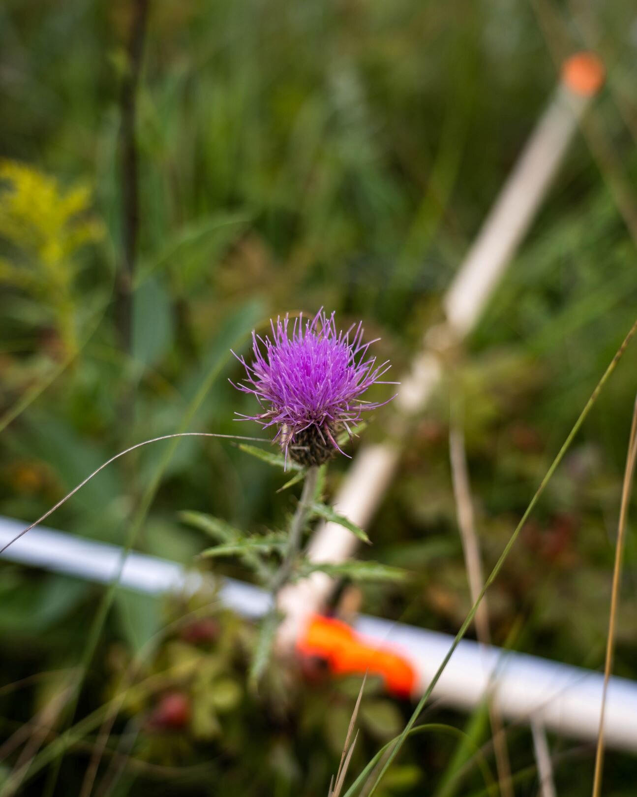
Vegetation Inventory
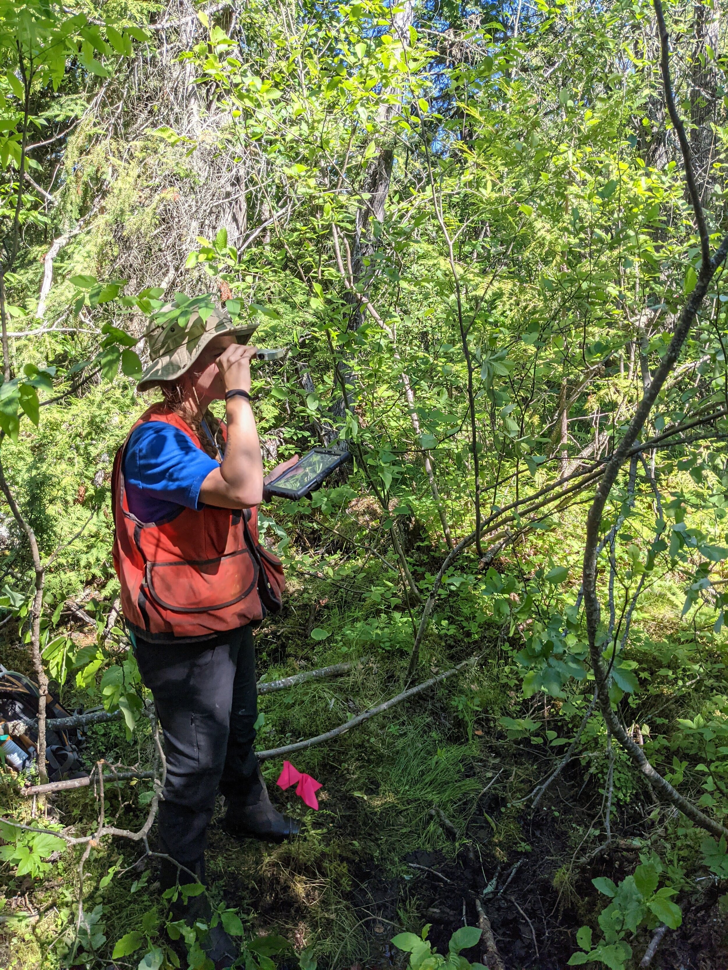
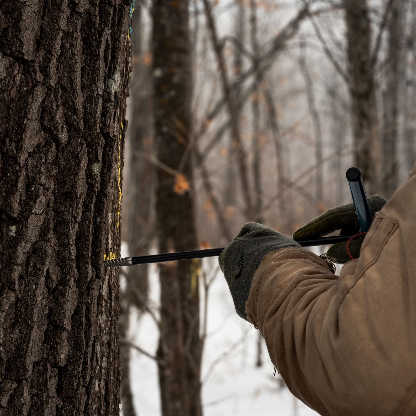
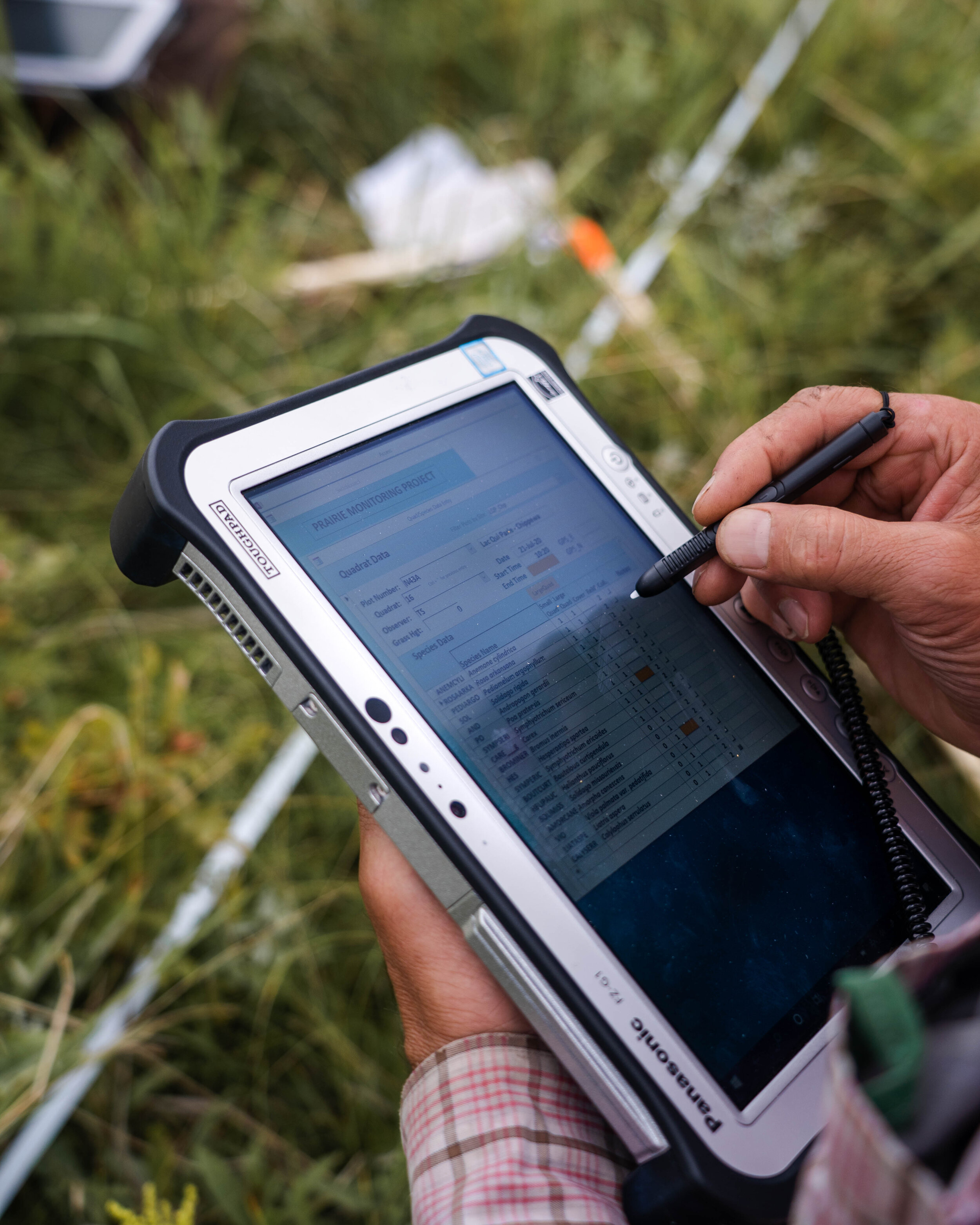
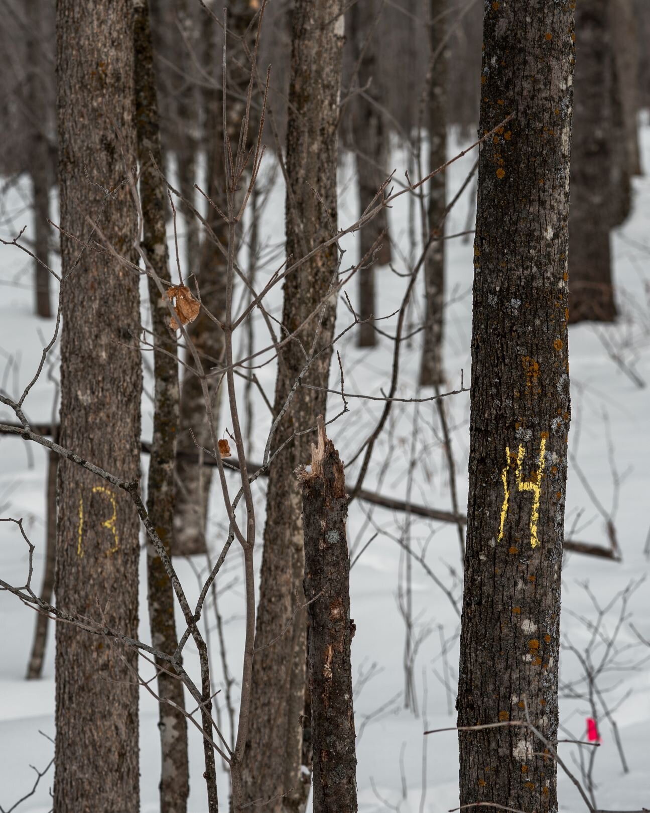
Surveys and inventories of natural resources can take many forms: vegetation plot inventories, timber stand surveys, point-intercept surveys, tree coring, and more. Data from these surveys provide valuable information about biodiversity, plant communities, tree health, and invasive species density. Understanding what’s actually happening on the landscape is important for land managers to improve management strategies. It’s also important for private landowners to best plan for the future of their land. Surveys and inventories can also help track ecosystem resilience and adaptability, and habitat restoration success. Any landscape decision-maker should consider surveys or inventories as part of their management decision making.
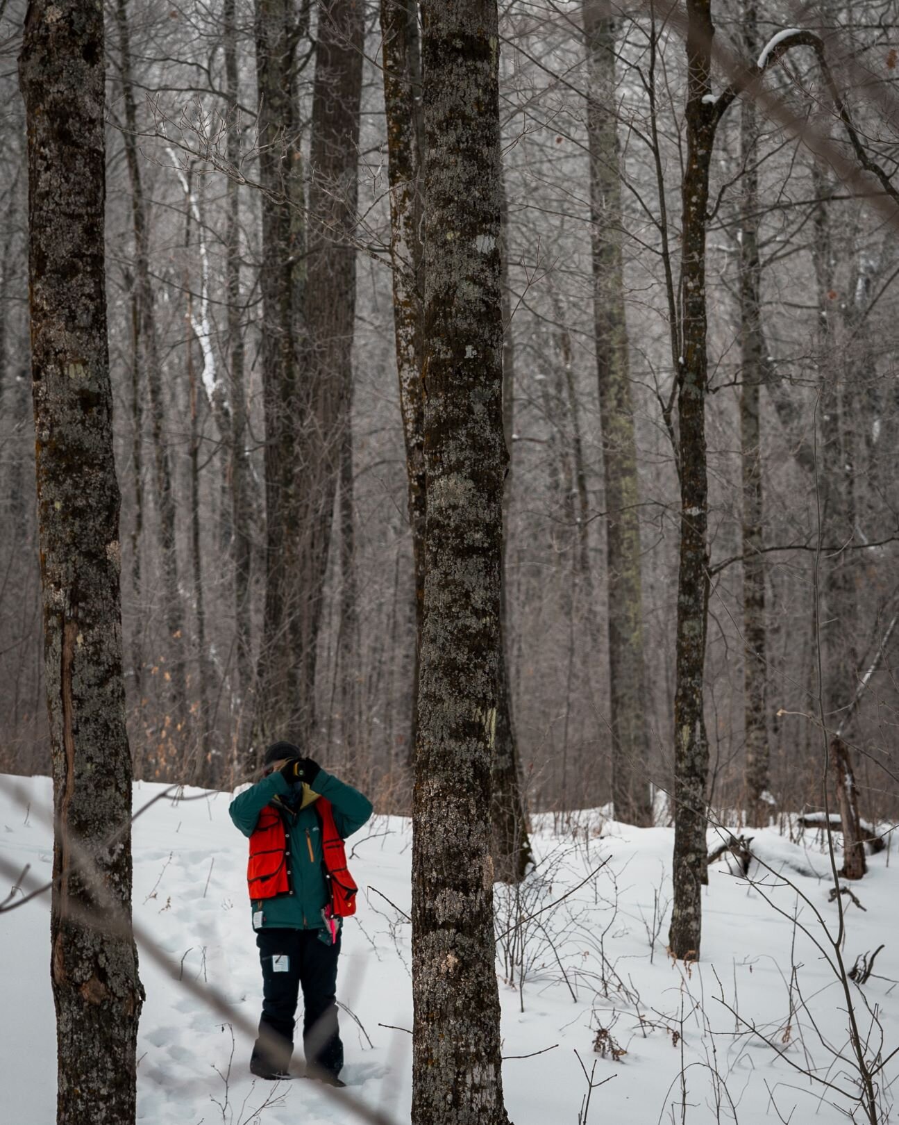
Important though it is, surveying landscapes can be time and labor intensive. So we’re here to help! NRP has experience with multiple forms of vegetation surveys, from timber stands to vegetation plots. Our crews are skilled at plant identification, and even better at learning new plants. We have experience with all aspects of inventorying such as: plot establishment, coordinate tracking, plant species identification, density recording, tree height recording, tree coring, and data quality control.


Experience, knowledge, skill
Our inventory projects have taken us all over Minnesota, from the pothole prairies in the west to the tamarack bogs of the north. We can adapt to any kind of ecosystem or plant community, and we aren’t afraid to travel to complete a survey project. Our crews have the technical skill and know-how to handle detailed inventory projects.
Have survey data already and need help building a management plan based on it? --We can help with that too!